
Scan to CAD Services (Floor Plans, Sections & Elevations)
Survey-grade 2D architectural drawings drafted directly from 3D laser scan data.
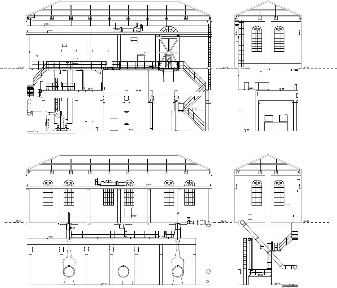
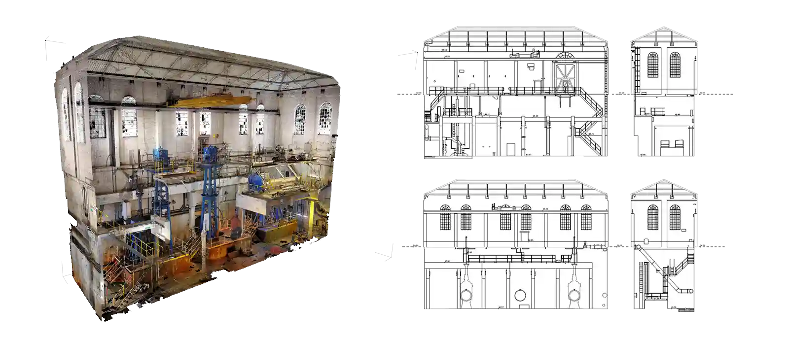
When full 3D BIM is not required, our Scan to CAD service produces rigorous, millimetre-accurate 2D measured surveys. We slice through the registered point cloud data to produce clean, layered architectural drawings for planning applications and tender documents.
What We Deliver
- Layered AutoCAD Drawing files (.DWG and .DXF)
- High-Resolution Print-Ready PDF plans with title blocks
- Floor plans (Ground, upper floors, basements, roof plans)
- Longitudinal & Cross sections showing true ceiling deflection and wall inclinations
- Detailed facade elevations with stone coursing and fenestration profiles
Technical Specifications
- Formats
- AutoCAD DWG, DXF, Vectorworks, PDF
- Layering Conventions
- Standardised or client-specific layering
- Drawing Scales
- 1:50, 1:100, 1:200
- Calculations
- Net & Gross Floor Area calculations
Key Use Cases
Planning permission & Swiss building permit submissions (Baugesuch)
Tenant space measurement and rental lease agreements
Heritage facade restoration & stonework documentation
Demolition and refurbishment tendering
Frequently Asked Questions
What standard layers do you use?
We use structured layer conventions, or we can adapt directly to your internal office CAD template.
Are floor areas calculated?
Yes, we calculate and annotate gross and net floor areas in accordance with project requirements.
Scan to CAD Services (Floor Plans, Sections & Elevations)
Survey-grade 2D architectural drawings drafted directly from 3D laser scan data.
Request a Quote