
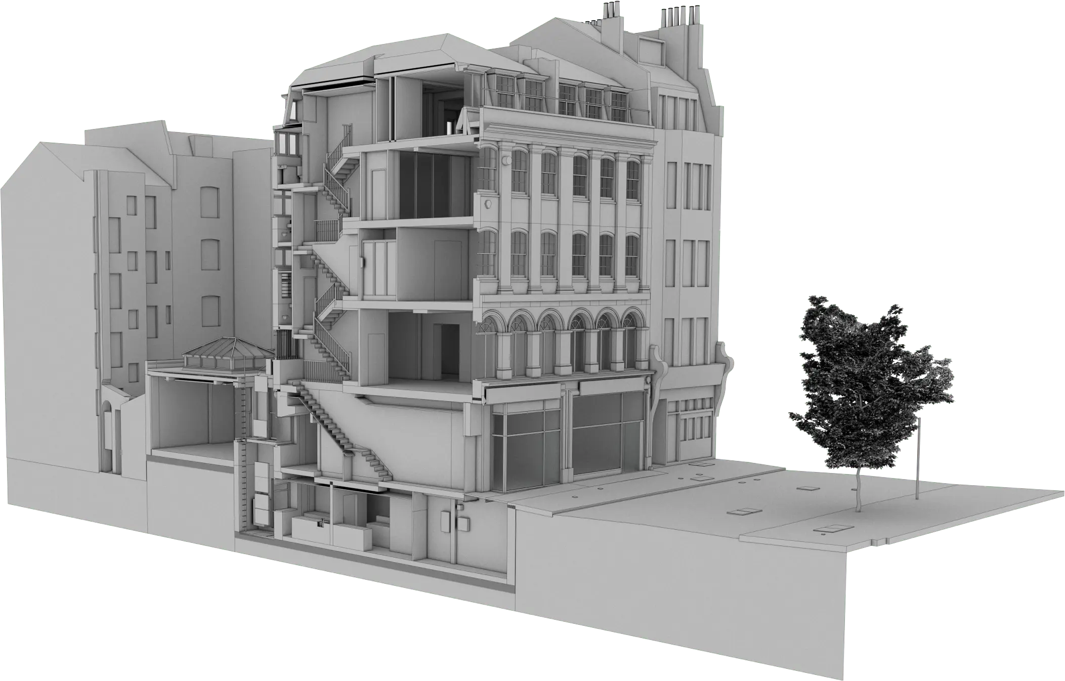
AS-BUILT BIM (LOD 200–350)
SCAN TO BIM SWITZERLAND
Complete architectural and structural documentation for complex renovations. True-to-life modelling of out-of-plumb walls, floor deflections, complex stair cores, and historic facade profiles. Built with clean, native Revit elements and custom families.
SCAN TO BIM0+
Scan To Revit Projects Completed
0+
Scan To CAD Projects Completed
0
Years In Business
2027.01
Switzerland Launch
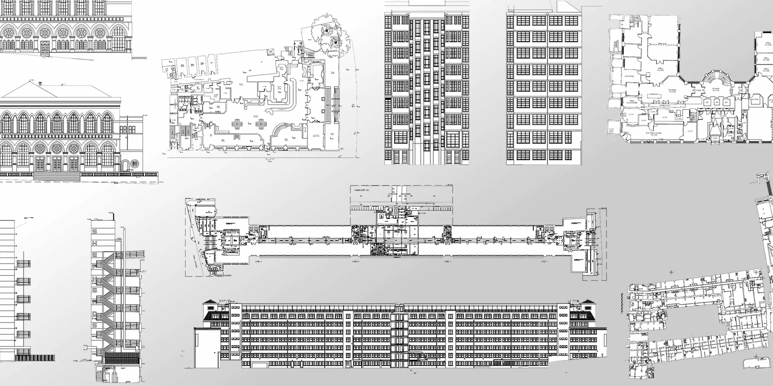
SCAN TO CAD / 2D DOCUMENTATION
MEASURED 2D PLANS, SECTIONS & ELEVATIONS
Accurate 2D floor plans, cross-sections, and detailed facade elevations drafted directly from registered laser scan data. Clean vector geometry with standardised layering, ready for planning applications and tender submissions. Delivered in native DWG, DXF, Vectorworks, and PDF plots.
SCAN TO CAD